ACTIVITY
Activity & Services
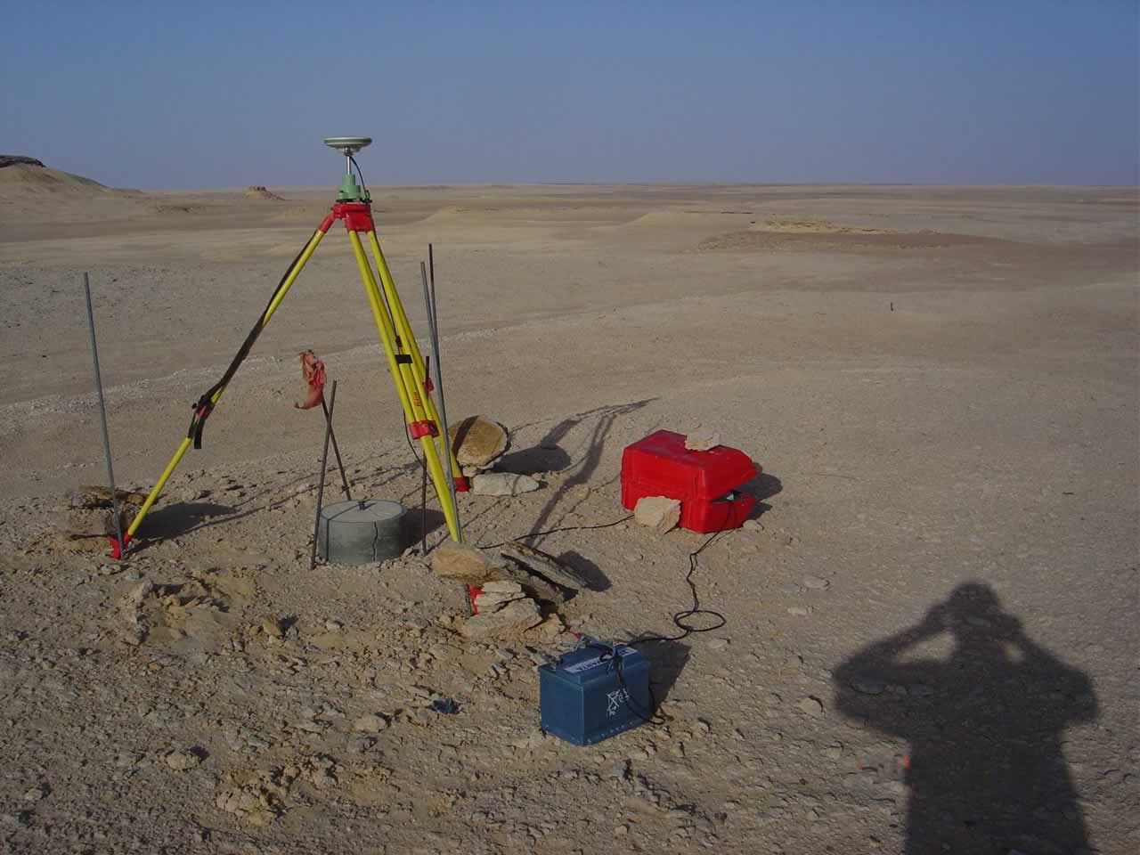
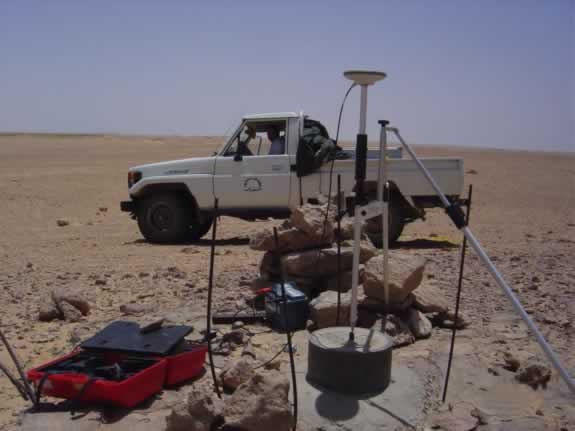
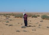
Geodetic survey
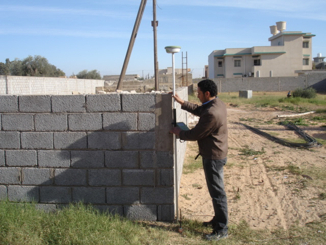
Topographic Survey
We have carried out large scale topographic survey mapping for many projects in the country and few projects in Africa.
Pipelines...
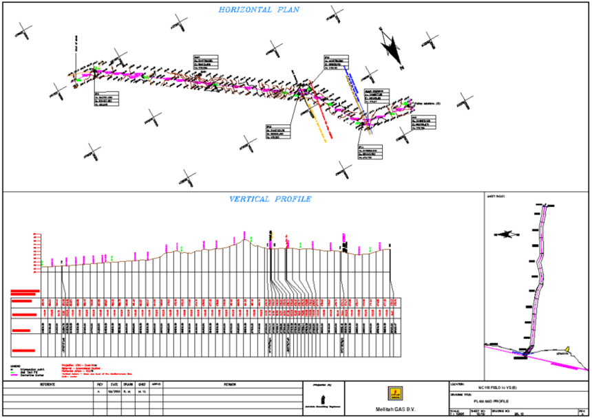
We have selected routes and topographically surveyed more than 2300 km of oil, gas, and water pipelines through-out the country, and we have prepared their alignment sheets for their horizontal plans and vertical profiles.
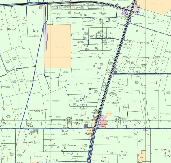
Cadastre Survey...
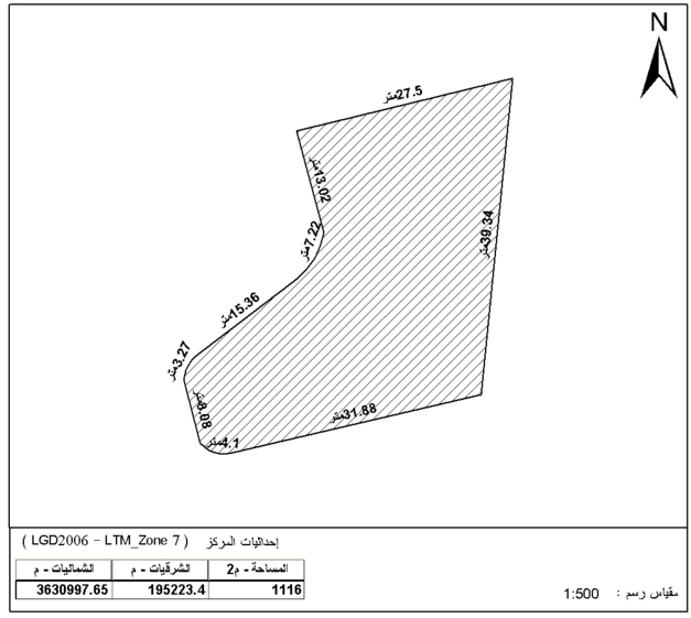
We carry out the boundary survey for parcels that need to be registered in the Land Registry Authority.
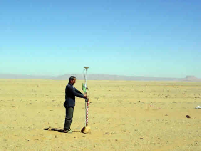
Marking and setting out the locations of oil and gas wells to be drilled
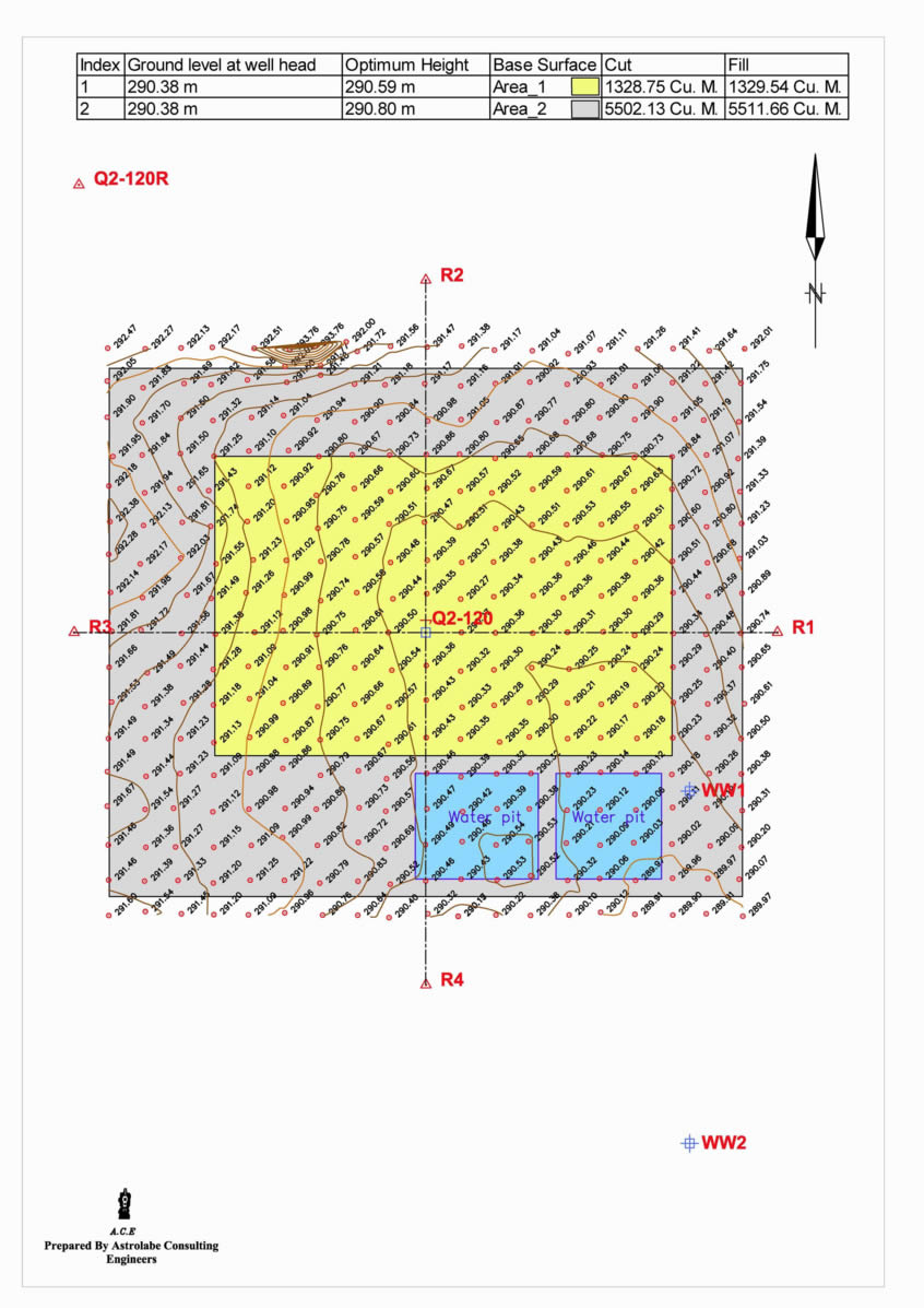
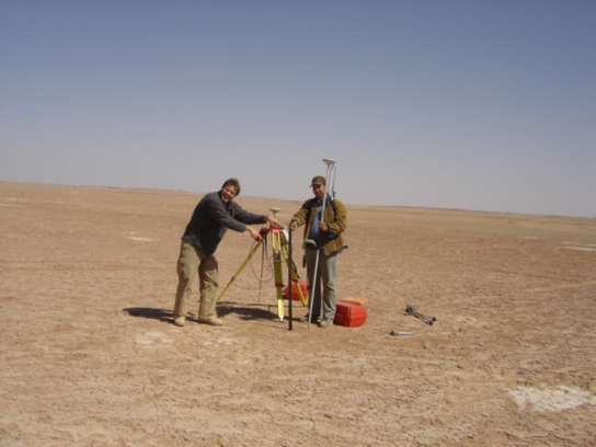
We have set out and marked in the field over two hundreds exploration and production wells to be drilled and then help in setting the drilling rigs layouts, and in many cases help calculate the amounts of cuts and fills that are needed to level the wells sites.
Tourist Maps...
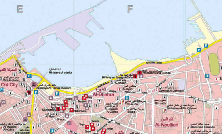
We have prepared and issued two prints of Tripoli tourist map, and prepared and issued one print of greater Tripoli map for the general public and tourists use.
GIS...
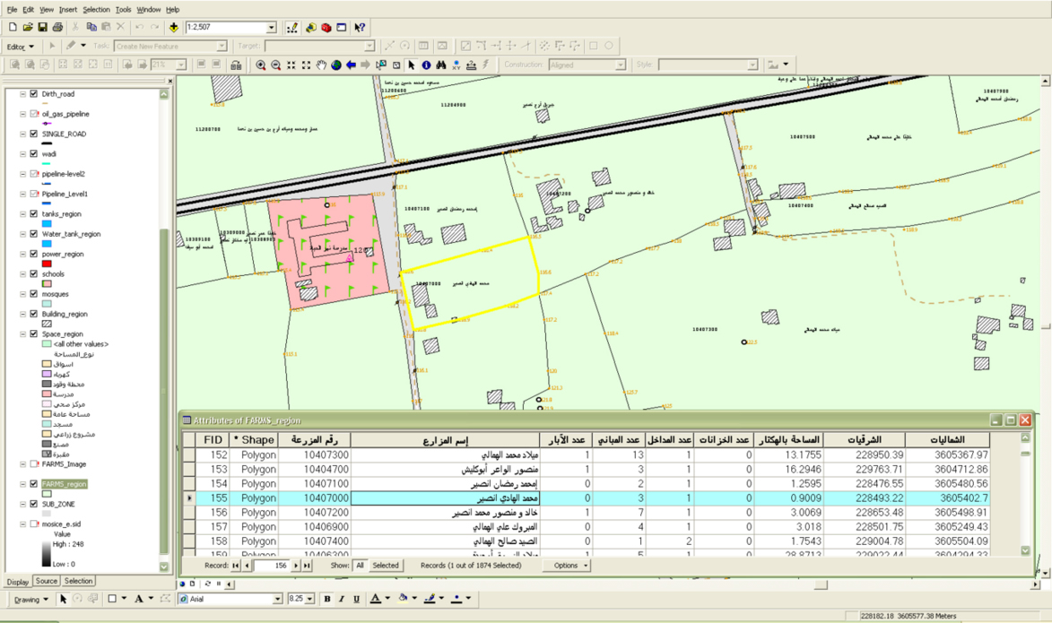
We have surveyed and created many Geographic data bases for many of our clients in the country.